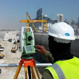
Utility surveying
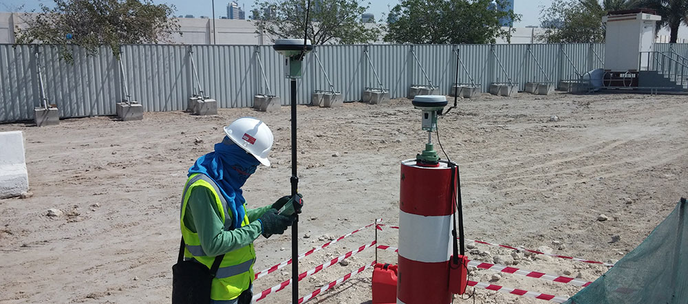
Gulf Land Surveys specialise in the location and mapping of underground utilities such as buried cables and pipes.
When in the design phase of a project its important that your engineering team have all the available site information that could impact on construction activities, such as the location of any existing assets above and below the ground. Whilst utilities information is available from various sources (Kahraa Maa, QTel etc) there is no guarantee that these drawings are accurate or up to date. Gulf Land Surveys are able to provide a comprehensive drawing package containing the above ground features as well as the below ground assets.
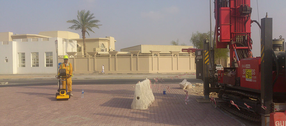
Utilising a viariety of tools and equipment our teams are able to locate, position and map buried services. Our solutions include;
- Radio Frequency Detection Surveys (Radio Detection)
- GPR Surveys
- Manhole, Drainage and Connectivity Surveys