Land Surveying
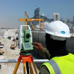
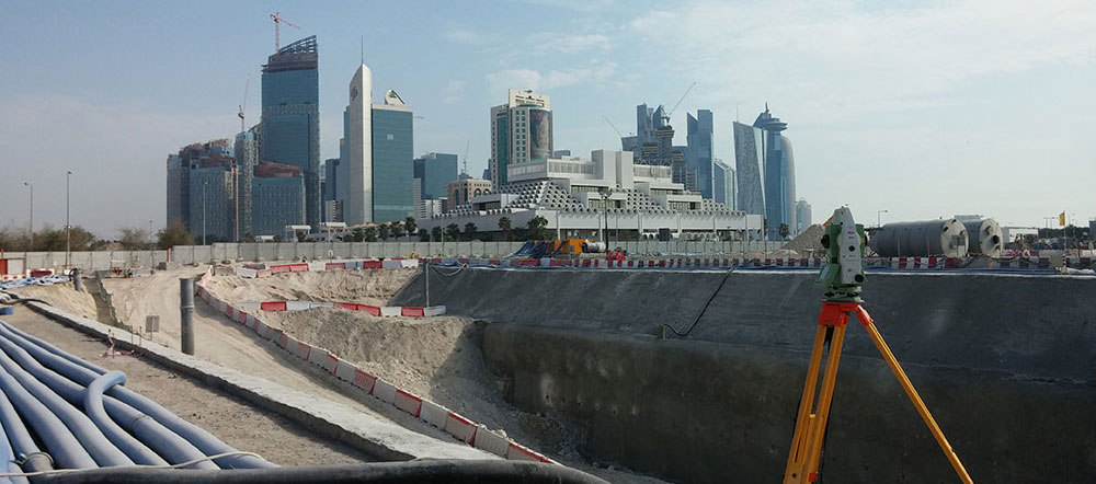
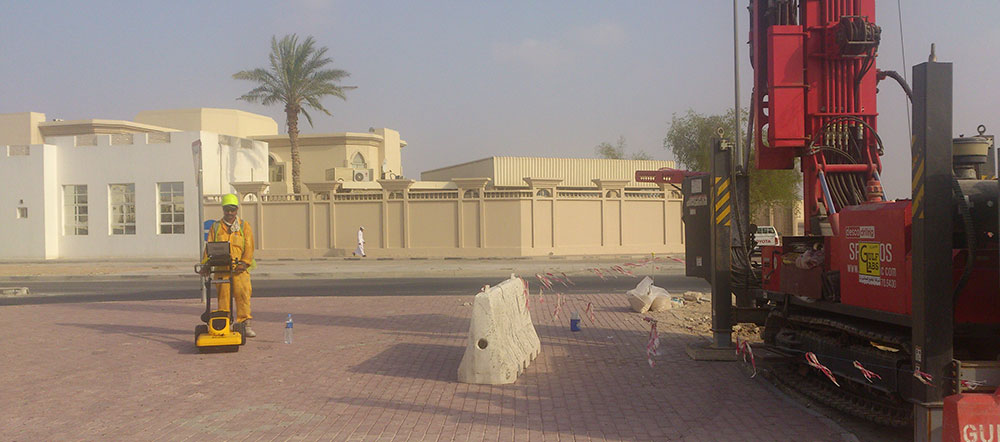
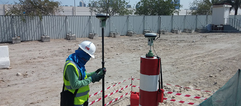
Accurate and up to date site information is critical to the success of any construction project. Gulf Land Surveys utilise the latest laser and imaging surveying tools to provide detailed and accurate engineering and cartographic products.
Through the combination of experienced & well trained surveyors, advanced survey technologies and software tools, we are able to produce a 2D or 3D CAD products that provide you with the accurate and up to date site information required to complete your projects succesfully.
Our Land Surveying solutions include:
- Topographic Surveys
- Measured Building Surveys
- As Built Surveys
- Terrestrial LiDAR (3D Laser Scanning)
- Dimensional Control
- BIM Surveys